Photo Album "Bleu Ciel" & "Au Jardin"
Florensac & Region, Languedoc , France
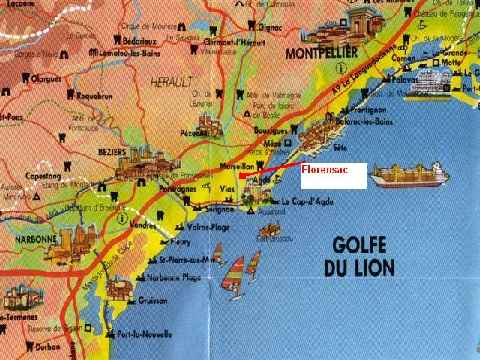
Tourist map showing the location of Florensac - 10 km Mediterranean
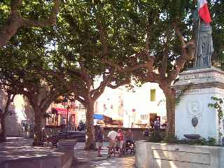
LEFT : Florensac, Place de la République............ RIGHT: The Etang de Thau, near Mčze
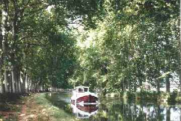
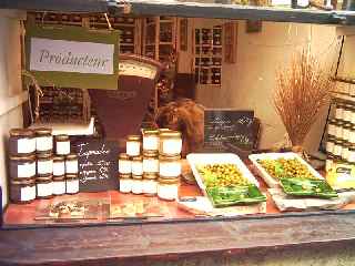
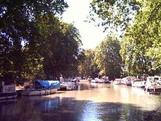
LEFT : Canal du Midi, Portiragnes............ RIGHT: Locally-grown olive products
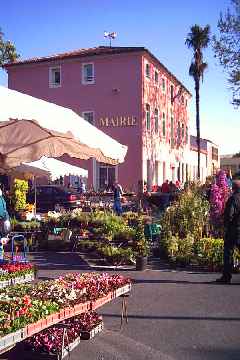
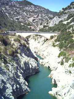
LEFT : Florensac, April flower festival ............ RIGHT: Gorges de l'Hérault
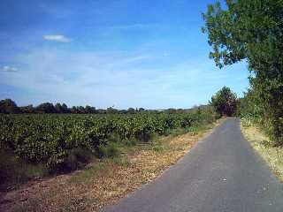
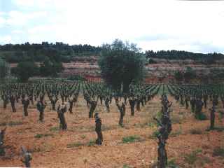
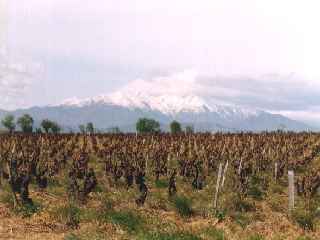
The small roads around the Florensac Vineyards are ideal for cycling and walking
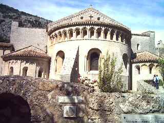
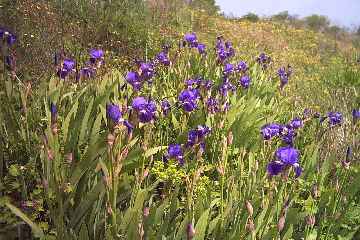
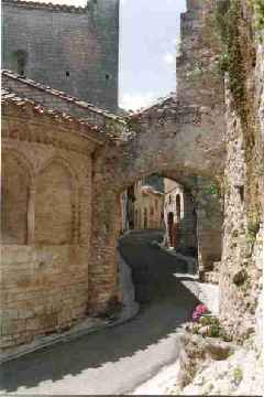
LEFT : The Abbey de Gellone, St Guilhem le Désert............. RIGHT: Wild irises near Florensac
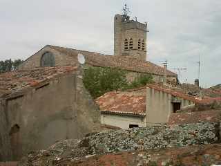
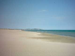
LEFT : Rooftops and the church of Florensac............ RIGHT: The 11 km sandy beach at Marseillan Plage
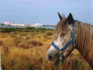
LEFT : Camargue pony, near Sčte................... RIGHT: The yachting marina at Cap d'Agde
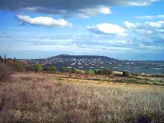
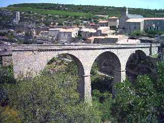
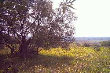
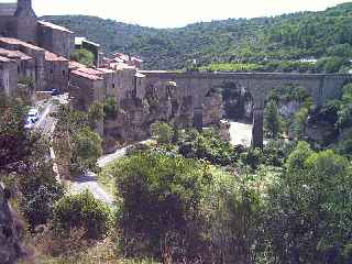
LEFT : The bridge at Minerve............................ RIGHT: Old olive tree on hillside above Florensac
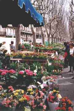
LEFT : Béziers, Friday flower market......... RIGHT: Mediaeval street in St Guilhem
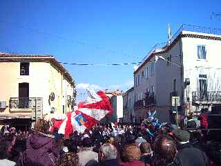
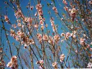
LEFT : Florensac, carnival corso ............. RIGHT: Wild almond blossom, February
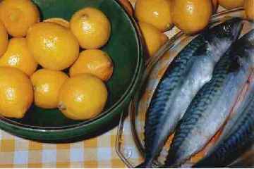
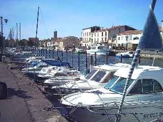
LEFT : Locally-caught mackerel............ RIGHT: Port at Marseillan
LEFT : Capestang....................... RIGHT: Old village in Haut Languedoc
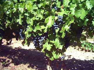
Languedoc - Roussillon . The largest wine-growing area of France
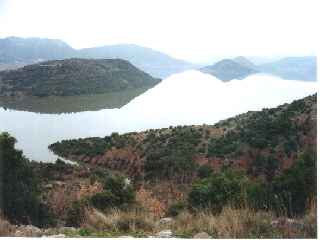
LEFT : Lake Salagou............ RIGHT: Moureze landscape
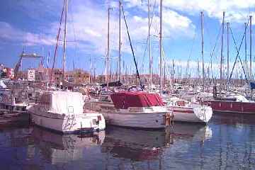
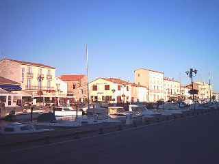
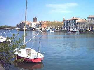
LEFT : The river Herault at Agde............ RIGHT: Boats in the Port of Marseillan
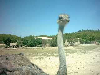
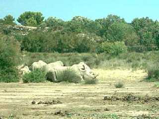
Sigean African Wildlife park - drive and walk around the African savane .....about 60km south of Florensac
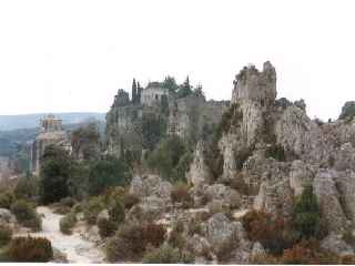
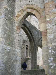
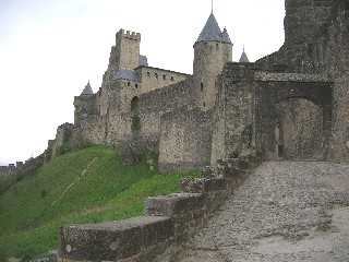
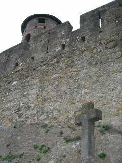
The 'Cité' of Carcassone - about 100km from Florensac
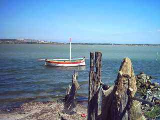
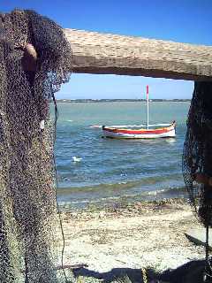
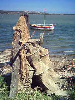
Fishing nets on the shore of the 'Etang de Bages' near Narbonne